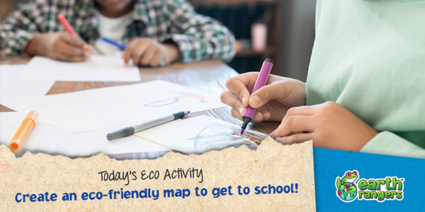
Create an eco-friendly map to get to school!
Canadians buy more cars that emit the most carbon into our atmosphere per kilometre out of any country in the world! Crazy, right? Transportation amounts for the second highest category of carbon emissions in Canada every year. A great way to lower your family’s carbon footprint is to find alternative ways to get around!
Now that school has started, why not pick an eco-friendly method of travel to get to and from school?
For today’s eco-activity, you’re going to create a map for a non-motorized route, or a carpool route, to your school and back!
You could use a bike, a scooter, a skateboard, or even your own two feet! Once you’ve picked your non-motorized travel method or your carpool route follow the steps below to start creating a map of your new eco-friendly routes.
Here’s what you need:
Here’s how you make it:
Step 1:
Visit www.google.ca/maps and click directions. Enter your address and one of your favourite places to drive to. Select your travel method (by bike or by foot). How much longer does it take?
")
Step 2:
Take your paper, coloured pencils, crayons, or markers and draw a map of your non-motorized route. Use one colour for water, one colour for roads, one colour for your house, and one colour for your destination.

Step 3:
Label your map with street names. Then, create a legend for your map in the top left corner. What does each colour represent?

Remember to hang it up on your fridge when you’re done! Where will your map take you?


I love making maps too